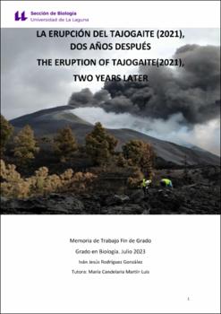
La erupción del Tajogaite (2021), dos años después
Fecha
2023Resumen
En este trabajo de fin de grado (TFG) se realiza un análisis bibliométrico de los artículos
científicos que han estudiado la erupción del Volcán Tajogaite, en La Palma, ocurrida en
2021. Para ello se utilizó la base de datos Scopus con el fin de realizar la búsqueda y el
análisis de los artículos, obteniendo distintos índices bibliométricos. En total se analizaron 63 trabajos científicos sobre el evento, publicados desde el desarrollo de la erupción hasta junio de 2023 e indexados en la base de datos de Scopus. Así mismo, se extraen las contribuciones y/o innovaciones más relevantes que dichos estudios han
aportado al campo de la vulcanología y particularmente al conocimiento del fenómeno volcánico de Canarias, entre las que cabe destacar, el uso de drones para la toma de datos y observación, la aplicación de técnicas analíticas sobre el terreno para el análisis químico de las lavas en tiempo real, y la obtención de la estructura de la corteza y el
manto así como de los conductos de alimentación del magma bajo la isla mediante tomografía sísmica de alta resolución. In this final degree thesis (TFG) a bibliometric analysis of the scientific articles that have
studied the eruption of the Tajogaite Volcano in La Palma, which occurred in 2021, is
carried out. For this purpose, the Scopus database was used to search and analyse the
articles, obtaining different bibliometric indices. A total of 63 scientific papers on the
event, published from the development of the eruption until June 2023 and indexed in
the Scopus database, were analysed. Likewise, the most relevant contributions and/or
innovations that these studies have contributed to the field of volcanology and
particularly to the knowledge of the volcanic phenomenon of the Canary Islands are
extracted, among which it is worth highlighting the use of drones for data collection and observation, the application of analytical techniques in the field for the chemical analysis of the lavas in real time, and the obtaining of the structure of the crust and the mantle as well as of the feeding conduits of the magma under the island by means of highresolution seismic tomography .


